


Help
An assembly is a group of members of an organization who meet periodically to make decisions about a specific area or scope of the organization.
Assemblies hold meetings, some are private and some are open. If they are open, it is possible to participate in them (for example: attending if the capacity allows it, adding points to the agenda, or commenting on the proposals and decisions taken by this organ).
Examples: A general assembly (which meets once a year to define the organisation's main lines of action as well as its executive bodies by vote), an equality advisory council (which meets every two months to make proposals on how to improve gender relations in the organisation), an evaluation commission (which meets every month to monitor a process) or a guarantee body (which collects incidents, abuses or proposals to improve decision-making procedures) are all examples of assemblies.
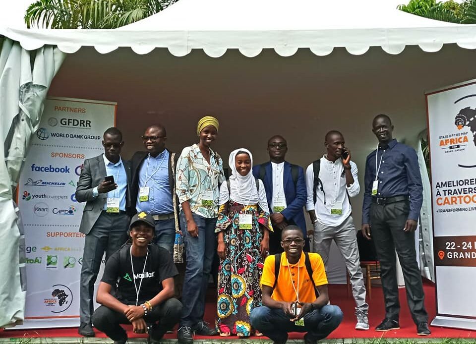
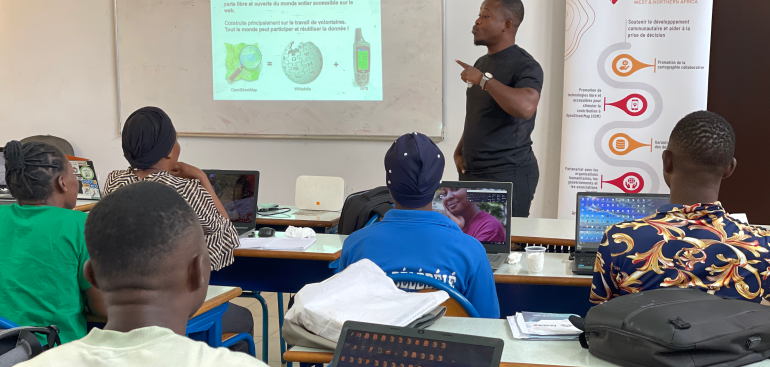
OCarto : the Openstreetmap & Open Source cartography community of Ovillage
Mapping today, for a better world tomorrow !
Related images
Image

Image
Image
Image
Image
Image
Image
Image
Image
Image
About this assembly
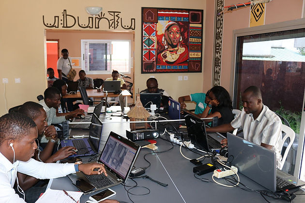
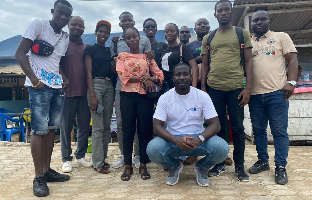
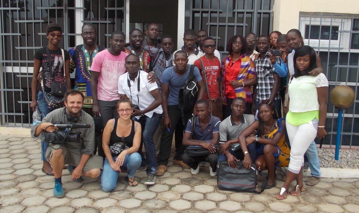
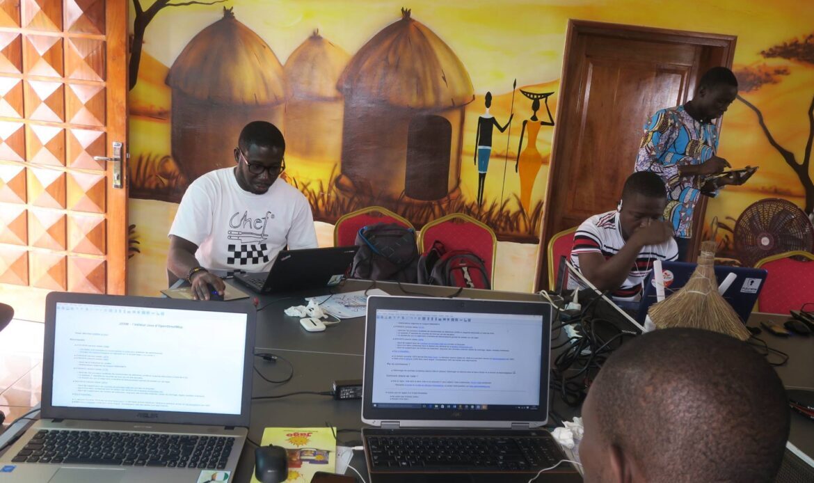
Ovillage's Openstreetmap & cartographie Open Source community is a dynamic and committed collective dedicated to the production and distribution of free cartographic information accessible to all. Based in Abidjan, at the heart of the innovative Ovillage third place, this community brings together cartography enthusiasts, geomaticians, developers, students and committed citizens who collaborate to enrich the geographical data of the Ivory Coast and beyond.
Our activities
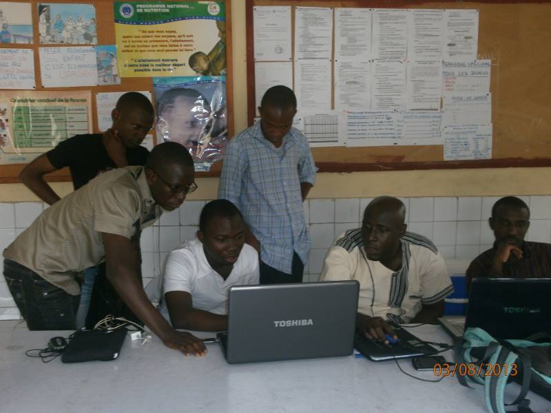
1. Training and awareness workshops :
We regularly organize workshops to introduce community members to the use of Openstreetmap (OSM) and other open source mapping tools. These courses cover topics ranging from data collection in the field to editing and validating cartographic information.
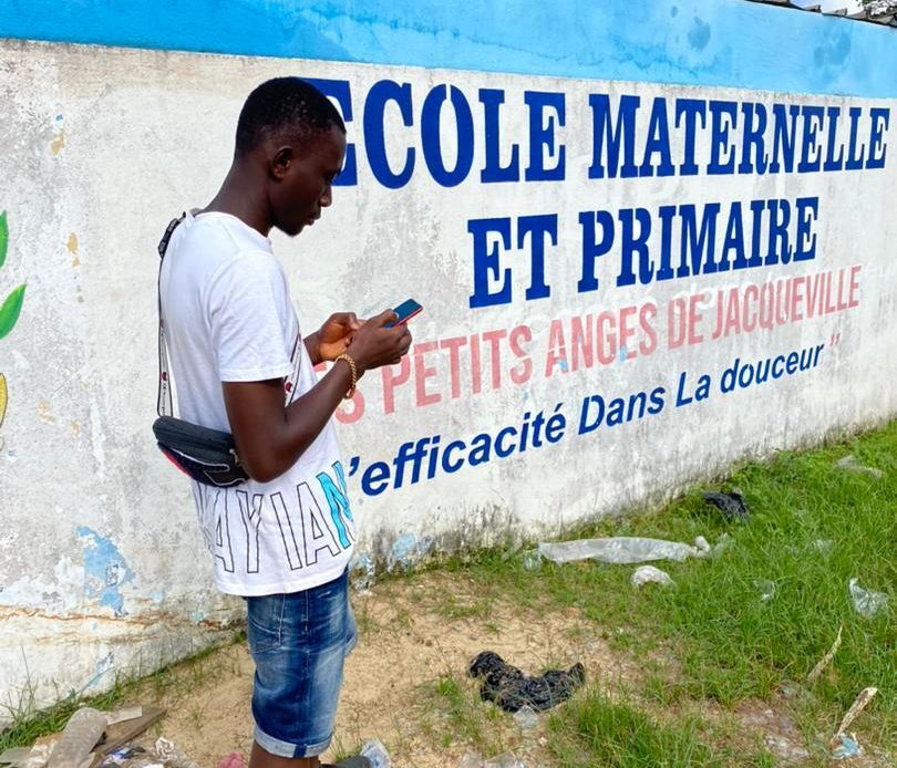
2. Cartoparties :
Our cartoparties are friendly, collaborative events where participants get together to map a specific area. Armed with GPS, smartphones and notebooks, members collect valuable data on infrastructure, roads, buildings and much more, then integrate it into OSM.
3. Thematic mapping projects :
We run thematic mapping projects, targeting specific areas such as health, education, transport, and the environment. These initiatives aim to produce detailed, relevant maps to meet the needs of local communities and decision-makers.
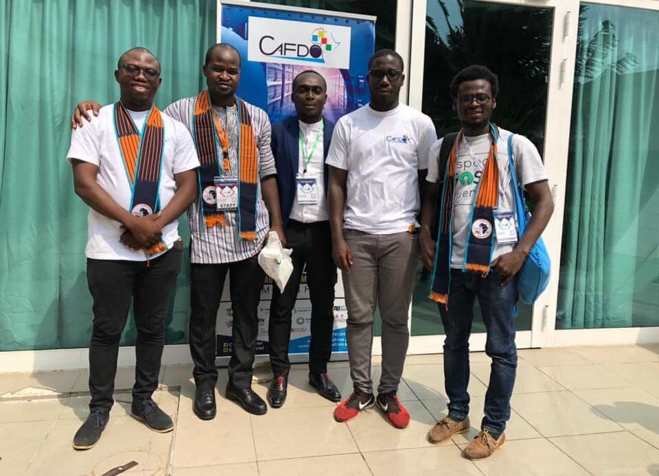
4. Collaboration with other organizations :
The community works in partnership with NGOs, government institutions, universities and other local and international players to promote the use of open data and support various development projects.
5. Hackathons and Challenges :
To stimulate innovation and engagement, we organize hackathons and challenges where participants can propose innovative solutions based on open source map data. These events are an opportunity to develop useful applications and tools for the community.
Impact and contribution
By actively contributing to Openstreetmap, we enrich an essential global resource, while providing accurate and up-to-date data for local users. Our activities strengthen community resilience, support sustainable development and promote digital autonomy in Côte d'Ivoire.
Join us and become an agent of change by participating in our open source mapping initiatives. Together, we can create maps that change the world!